Guide · Building protection & renovation
Protect buildings against heavy rain: assess water routes and entry points in existing properties
A house may be at risk during heavy rain even when there is no stream nearby. Water flows across roads, driveways, slopes and depressions, collects at low points or backs up from overloaded drainage. Effective building protection therefore starts with the actual water routes and entry points in the existing building, rather than an individual product.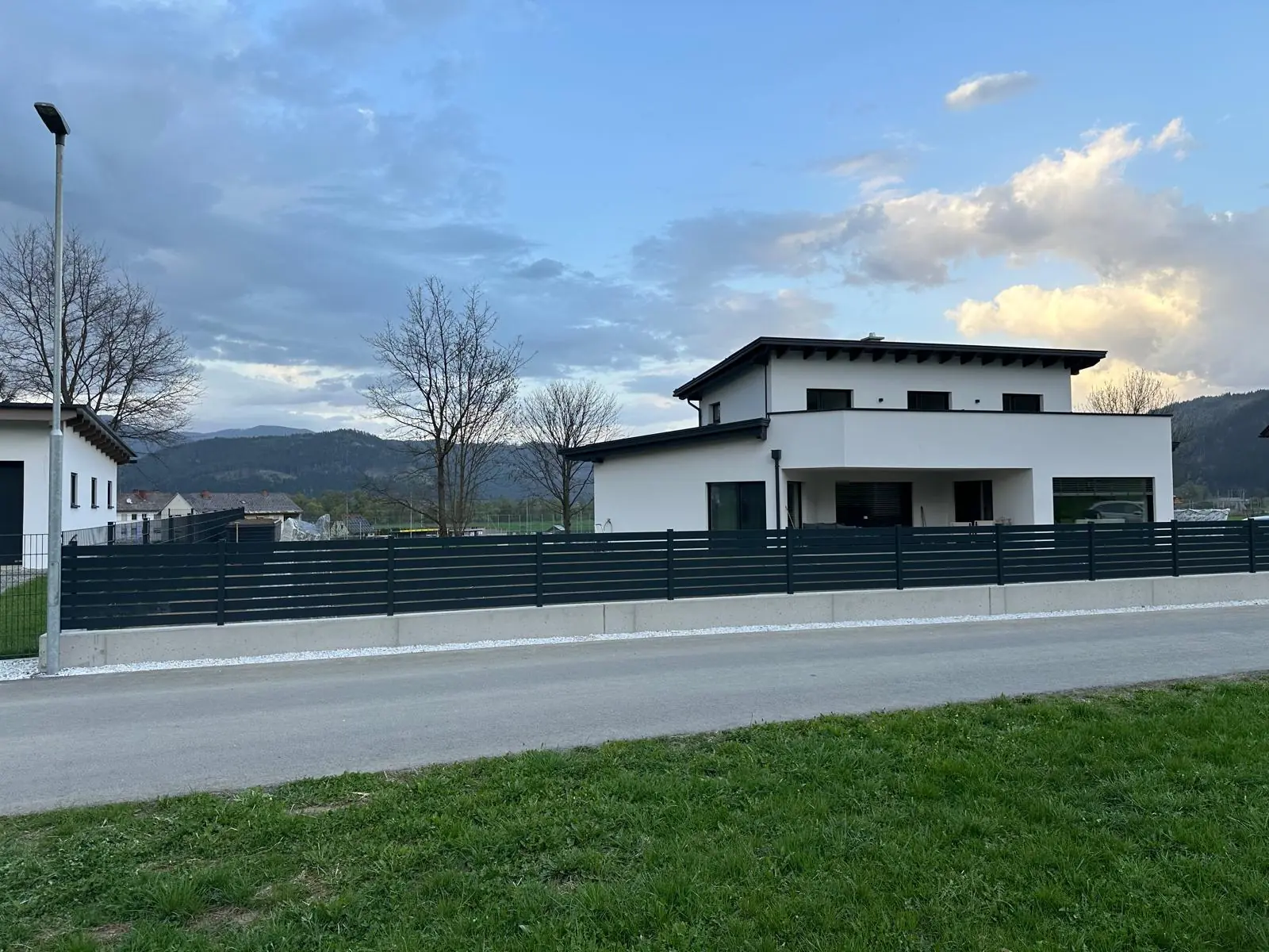
The map is a starting point, not a plot-specific assessment
Switzerland’s surface-runoff hazard map shows modelled flow paths and possible water depths during rare to very rare heavy-rain events. It helps identify hazards away from watercourses early. FOEN also highlights clear limitations: the map was scientifically modelled but not checked for plausibility throughout the terrain. It is not legally binding and does not depict flooding from rivers or lakes.
For an existing house, the map must therefore be related to conditions on site. Is the building on or near a marked flow line? Does the road slope towards the driveway? Is there a depression in front of a basement window, a lower garage entrance or a slope above the plot? Changes since modelling — new walls, paving, neighbouring buildings or altered ground levels — can also affect the water route.
An uncoloured plot is not an all-clear. FOEN expressly states that areas not shown are not automatically free from danger. Conversely, a coloured area does not prove that damage is imminent. Only an on-site plausibility check establishes which paths and entry points actually matter for protection planning.
Four levels of hazard assessment
- Regional information
- Review surface-runoff and cantonal natural-hazard maps for indications of flow paths, water depths and other hazards.
- Plot
- Survey falls, depressions, sealed surfaces, the road, driveway, neighbouring plots and planned water routes on site.
- Building
- Record all low or poorly protected openings, penetrations and construction joints, not just the front door.
- Drainage
- Have drains, pipes, emergency drainage and possible backflow assessed professionally as a separate system.
Trace the water route from the plot into the building
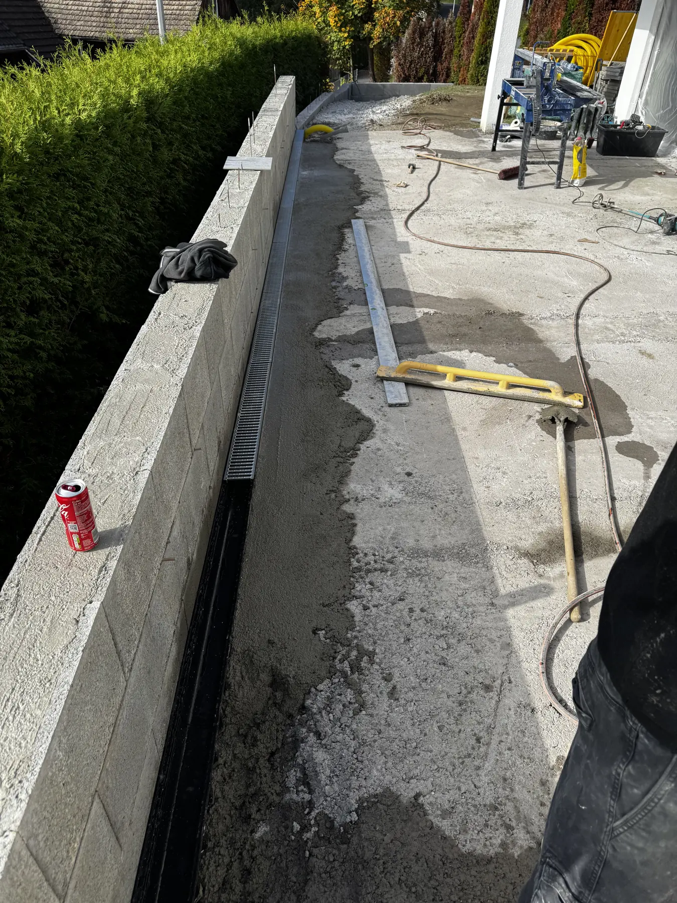
Heavy-rain water follows the terrain. It can accelerate along a road, reach a garage via a sunken driveway or collect behind a wall. Paved surfaces convey water faster than permeable soil. The site visit therefore examines not just the building but the route from the highest relevant ground point to a possible outlet or the lowest depression.
The Canton of Aargau recommends combining hazard maps with a site assessment. Particularly in depressions or on slopes, protection and water routing must be considered early. Raised basement light wells and entrances or planned drainage corridors are examples, not universal solutions: a threshold may divert water without establishing where it then flows.
The Canton of Zurich’s surface-runoff map, revised in 2025, also provides more detailed flow paths, directions and water depths for different scenarios. Current level surveys and local specialist design remain crucial for a specific project. A protection concept must not redirect water uncontrolled to a neighbouring plot or another vulnerable opening.
- Assess the road, pavement, kerbs and property access together
- Mark slopes, walls, depressions and sunken areas on the terrain plan
- Record roof and yard areas and their controlled drainage routes
- Document possible overflow routes from channels, chambers and drains
- Trace drainage corridors to a safe destination, beyond the building boundary
Identify every entry point
Water does not enter only through obvious doors. The Protection against Natural Hazards platform lists basement walls and slabs, service penetrations, light wells, basement windows, doors, façade joints, roofs and balconies as possible entry routes. In an existing building, these points are recorded floor by floor, both outside and inside.
Low openings are often particularly critical: a garage entrance below street level, a light well without an adequate raised edge or drainage route, a basement door at the foot of stairs or ventilation openings near the ground. Even an apparently high front door may be at risk when water collects on a landing. For each point, record its level, condition, seal, adjacent falls and expected water route.
Penetrations and concealed connections require specialist assessment. A photo cannot establish whether a basement wall is watertight or a backwater valve functions. Visible deposits, damp marks or earlier temporary barriers are useful clues, but do not replace investigation of causes and systems.
From map indication to protection concept
- 01Distinguish hazard scenarios
Do not confuse surface runoff, river flooding, groundwater, slope water and backflow; identify the relevant assessment basis for each scenario.
- 02Survey levels and routes
Document terrain, roads, driveways, depressions, thresholds, openings and drainage with reliable levels, rather than photos alone.
- 03Prioritise entry points
Assess low, exposed points with particularly high damage potential first; include use and escape routes.
- 04Design measures as a system
Keep water away, drain it in a controlled way, limit backflow and reduce unavoidable consequences without creating new risks.
- 05Define operation and checks
Document maintenance, responsibilities, functional checks, mobile elements and emergency procedures.
Plan surface runoff and backflow separately
Water flowing over terrain and paved surfaces towards a house is a different scenario from wastewater backing up from overloaded sewers. Both can occur during the same heavy rain but require different assessments. The surface-runoff map does not establish whether private property drainage has adequate hydraulic capacity or existing backflow protection works.
Drains, drainage channels and pumps do not guarantee protection. During very intense rain, inlets can block, capacity can be exceeded or power can fail. For each drained depression, therefore assess where water will go if overloaded. Emergency drainage or a safe overflow needs a defined destination and professional sizing.
For low-level drainage points, specialists clarify pipe routes, the backwater level, existing safeguards, maintenance condition and use. Whether a backwater valve, a lifting station or another solution is permitted and appropriate depends on the specific system. General product recommendations without a pipework and usage concept are therefore unreliable.
Balance permanent and mobile measures appropriately
Permanent measures work without short-notice intervention. Depending on the property, these may include adapted ground profiles, raised edges and openings, pressure- or water-resistant components and defined drainage routes. Mobile barriers can supplement them but require warning time, accessible storage, trained people and a safe installation route.
Selection depends on the hazard, possible water depth and dynamics, use, warning time and damage potential. A residential basement with building services, a garage and a ground-level living area have different priorities. People, escape routes and critical systems take precedence over replaceable finishes.
Even a small construction change can have side effects. A raised edge outside a garage can affect access or drainage; a closed barrier can direct water towards the façade. Options are therefore shown in plans and sections, coordinated with the existing building and only then put out to tender.
Compare measures by function
- Keep water away
- Use terrain, raised edges or property-specific protected openings to keep water away from the building and verify its new route.
- Drain water away
- Convey water through approved corridors, channels or overflows to a safe destination; plan for overload and maintenance.
- Limit backflow
- Have qualified specialists assess and maintain private drainage, the backwater level and permitted protection.
- Reduce consequences
- Position sensitive systems and valuables higher, reconsider vulnerable uses and keep an emergency plan ready.
Maintenance and emergency organisation are part of protection
A protection concept remains effective only while its components are accessible and functional. Regularly check channels, inlets and light wells for leaves, sediment or damage. Mobile elements need a designated storage location, clear responsibilities and regular practice. Pumps and technical safeguards require the checks specified for the system.
Prepare safe routes, shutdowns by authorised people, key contacts and protection of particularly sensitive goods for an emergency. Valuables and technical equipment in known risk areas can be raised. However, no one should enter a flooded room or one with electrical hazards during an event to rescue property.
Update the assessment after changes to the plot or building. A new terrace, driveway, retaining wall or light-well cover can alter the water route. Protection planning is therefore part of both the construction project and later use, rather than a one-off purchase.
Planning and quotation checklist
Comparable quotations describe the assessed hazard scenario and the function of each measure. General items such as ‘protect basement against water’ are insufficient. Plans and sections must show which levels, openings and drainage routes are considered and how the system should respond to overload.
In the Canton of Zurich, certain voluntary property protection measures may qualify for subsidies after individual assessment. GVZ recommends early contact for complex projects. This implies neither automatic approval nor the same rules in other cantons. Clarify funding, insurance and permission matters with the responsible body before ordering.
- Current maps and plans with access dates
- On-site plausibility check with ground levels and documented water routes
- List of all entry points, penetrations and sensitive uses
- Separate scenarios for surface runoff, backflow and other relevant hazards
- Measures plan showing levels, materials, joints and overflow routes
- Evidence that water is not redirected uncontrolled towards others or other openings
- Responsibilities for design, permission, execution and functional checks
- Maintenance plan for channels, chambers, mobile elements and technical safeguards
- Emergency organisation with safe routes and current contacts
- Early clarification of insurance, possible subsidies and required permissions